↑ Map of Arambol
Arambol, formerly known as Harman (Harmal). Arambol now is home to the most informal hippy-style people around Goa. A large number of russian and israeli public, living here for the whole season and arrived at two to three weeks.
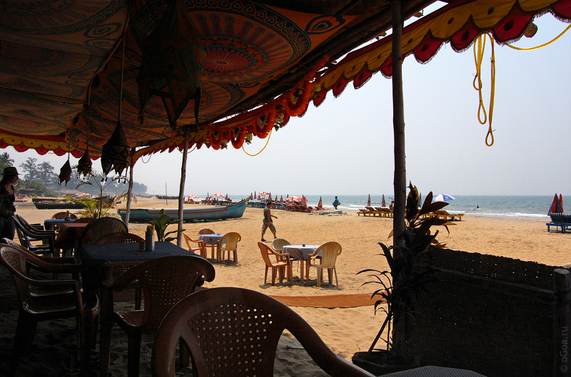
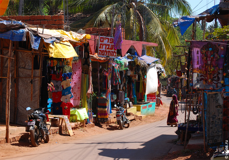
All people movement occurs around a single main street that takes you to entrance to the beach. On the street, a huge number of shops and stalls. Sold mostly clothing, accessories and all sorts of trinkets and souvenirs. There is also an internet-cafes and travel offices (currency exchange, selling SIM cards, trains and plane tickets). There are small restaurants, although most of them are located on the beach.
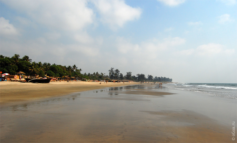
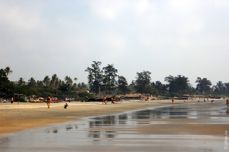
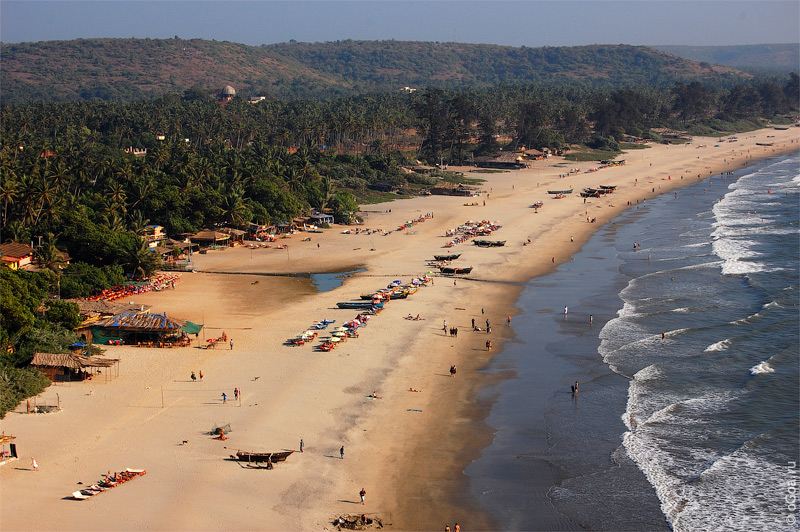
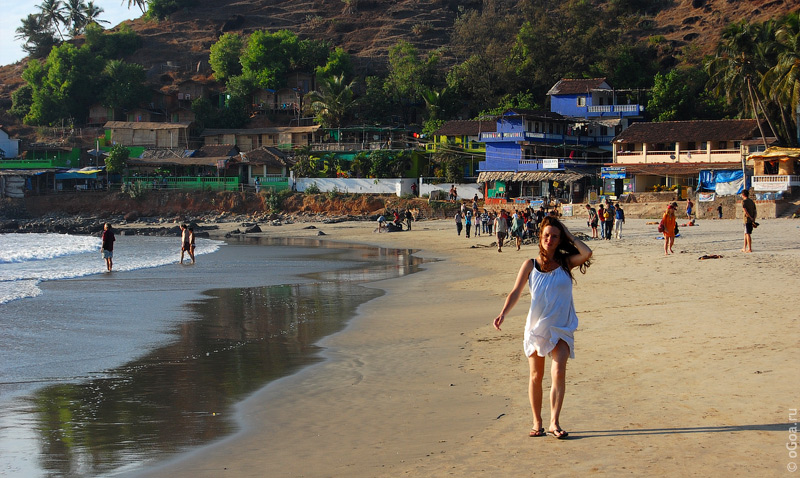
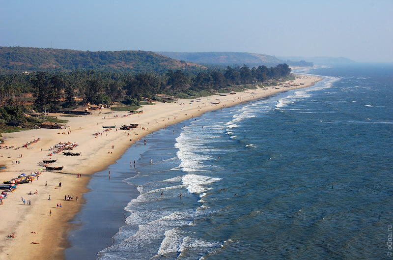
Arambol beach
Arambol beach in a smooth and wide, especially during low tide. Here is a good place for swimming, or simply walking along the coast.
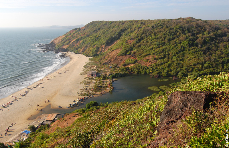
To the north, over the hill is another small beach, also named Kalacha beach, and a small shallow Arambol Sweet water lake, which empties into a stream, flowing, and the jungle. Going upstream the creek, through the jungle, you can reach the famous banyan tree under which allegedly meditated Beatles. Although the fact of coming here the Beatles and is doubtful, but this place always attracts both tourists and a variety of hippies who had come, hang out there all day.
Accommodation in Arambol
Guesthouses are located mostly around the main street of Arambol, some houses are generally a little farther, into the palm groves.
Eating & Drinking in Arambol
There is many beach shacks, and cafe at Arambol main street.
Getting There
Arambol is situated almost at very north of the Goa. To reach it from the more southern areas - including Vagator, Anjuna, Calangute, there are two main ways. The first is faster, and the second more interesting.
The first: after siolim bridge over the river Chapora, at the crossroads turn right, drive about 1 mile and turn left (see signs Arambol - Harmal), on a good trail that leads up to the Arambol. From the bridge to Arambol approximately 10km.
Second, after siolim bridge turn left, drive 2.5 kilometers and then turn right, go through Mordjim, Chopdem, Ashvem, Mandrem. As a result, at some point will be selected at the end of the route described in the first embodiment. The road is not very good quality, but it lies near the coast, through villages, and so much more fun to drive than the first. But the longer course.
Photos of Arambol
Kalacha beach
 Maps Of Goa


